Cropland abandonment
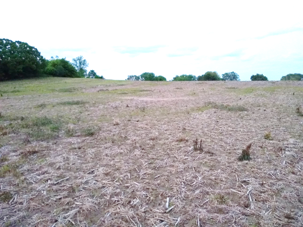
Fallow fileds in Wisconsin, 2019
|
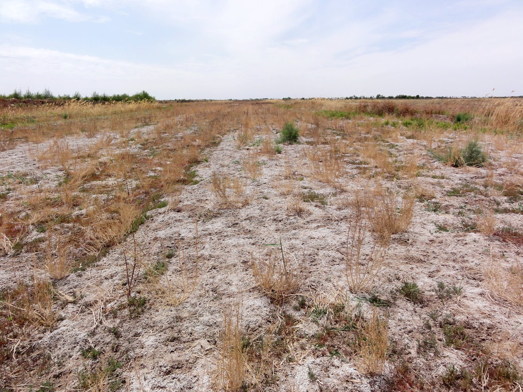
Abandoned fields in Uzbekistan, 2014
|
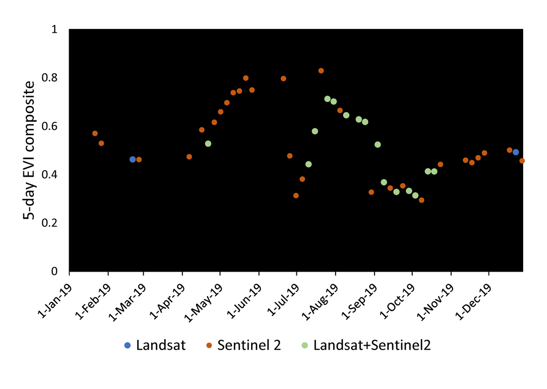
Cropland abandonment is a prominent form of land use change and an important indicator of economic growth and stability. Further, the unused lands may provide opportunities for conservation and carbon storage. However, cropland abandonment is often confused with other land use such as fallow, and thus is not routinely mapped with remote sensing. We aim to create cropland abandonment maps that have high precision in time and location. Better maps (i.e. with higher spatial and temporal resolutions) will help improve our understanding of the drivers that lead to cropland abandonment and are a crucial component for planning sustainable landscapes.
Related publications:
Yin, H. de Oliveira Brandao Jr., A. Buchner, B. Helmers, D. Luliano, B. G. Kimambo, N. Lewińska, K. E. Razenkova, E. Rizayeva, A. Rogova, N. Spawn, S. A. Xie, Y. H. and Radeloff, V. C. (2020): Monitoring cropland abandonment with Landsat time series. Remote Sensing of Environment. 246: 111873
Yin, H. Prishchepov, A. Kuemmerle, T. Bleyhl, B. Buchner, J. and Radeloff, V. (2018): Mapping agricultural land abandonment from spatial and temporal segmentation of Landsat time series. Remote Sensing of Environment. 210: 12-24